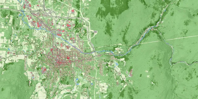
High-resolution, georeferenced unmanned aircraft systems (UAS) imagery captured by the VTrans UAS program now available for select project locations
Have excellent geospatial work to share? Submit a presentation proposal for Geoforum 2020.
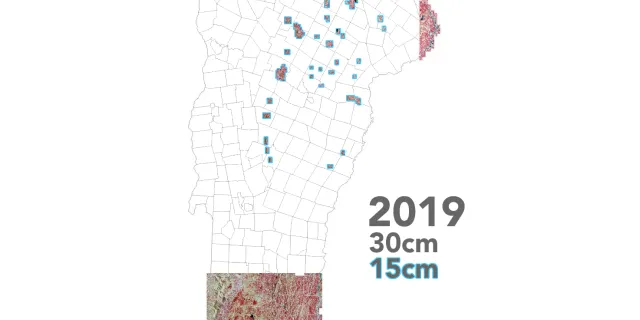
30cm resolution coverage for Southern and Northeast Vermont, 15cm resolution for select areas in the North
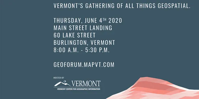
Join us June 4th 2020 in Burlington, VT at Main Street Landing for the Geoforum 2020 conference.
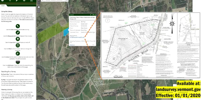
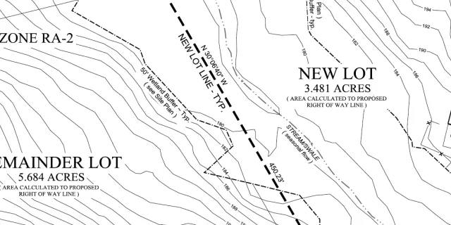
Online library hosts digital copies of land surveys of boundary line adjustments and subdivisions as prepared by Vermont licensed land surveyors
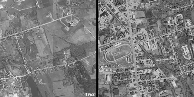
See what anywhere in Vermont looked like from above more than five decades ago
Data 900 Times More Detailed than Existing Statewide Land Cover Products
The webinar video providing an overview of the GeoPackage file format is now available.
H.526 Establishes the Creation of a Statewide Survey Library, Requirement for Boundary Line Changes
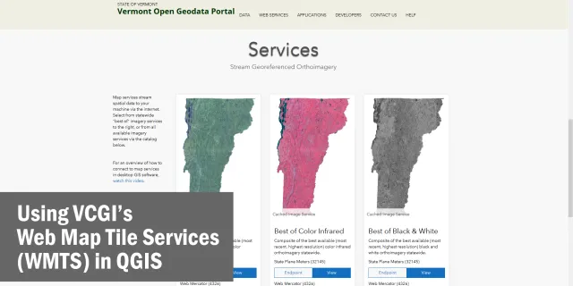
Learn to use our web map tile services (WMTS) in QGIS.