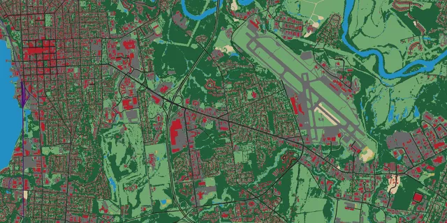
These 2016 high resolution land cover products have been updated.
Statewide parcel data have been updated with 2022 annual grand list information.
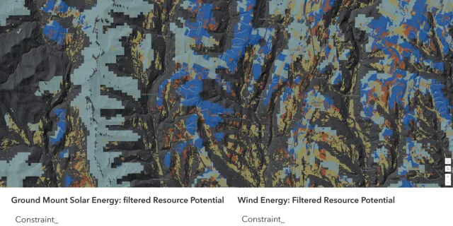
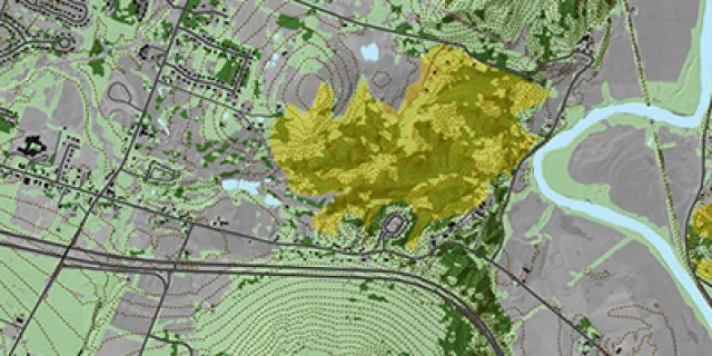
Known and possible constraint layers updated statewide, solar and wind energy potential resources available
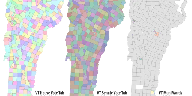
VT House and Senate Vote Tabulation Areas per 2022 redistricing, Municipal Voting Districts now available
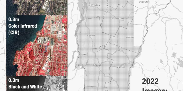
Largest leaf-off collection captured in a single season yet.
We're interested in your thoughs on our GIS products and services, please fill out the survey.
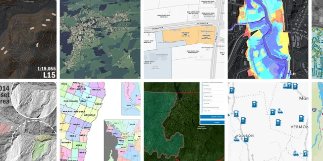
A look back at GIS work by the State of Vermont and partners in 2022.
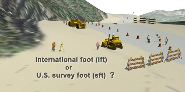
A Tale of Two Feet, a Forthcoming Coordinate System Update Based on New Datums, and What To Expect
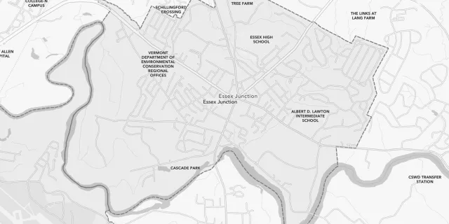
Vermont's 256th Municipality, Related Geographic Area Names and Codes Standard Also Updated
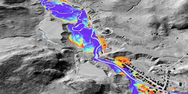
QL2 lidar-derived raster data product that depicts flooding extents for the Lake Champlain Basin in Vermont.