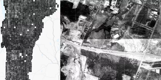
Scanned and georeferenced orthophotos taken over the course of 18 years are now avaliable for most of Vermont
Please check and update any service URL references from http:// and replace with https://
Add your input on the future of Vermont's Orthoimagery Program
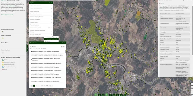
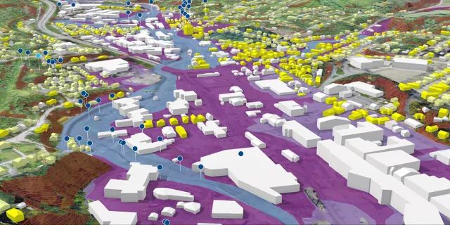
An updated parcel viewer with property transfers, land suveys, and more is now available for use.
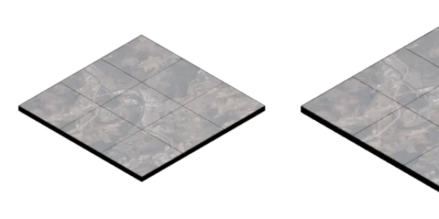
High performance cloud optimized raster data format now available for select items.
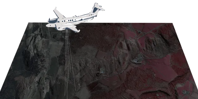
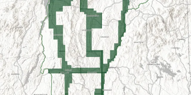
0.15m (15cm) coverage for major transporation corridors and urban areas
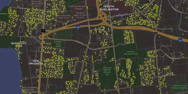
Approximate point locations and associated information collected by the Department of Taxes for all property transfers in Vermont beginning in January 2019 through present are now on a map.
A look back at what had been an extraordinary year.
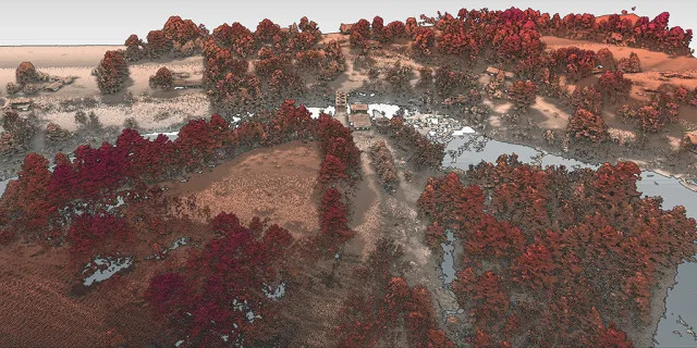
Pilot data now available.
See what lies ahead for the State of Vermont's GIS group,