January 30, 2023
VCGI and the State of Vermont's Enterprise GIS Consortium (EGC) are interested in your thoughts on our open and public GIS data products and services as we update our 5-year strategic plan. This survey is open to all users of Vermont's public GIS data and resources. Please complete the survey only once. It should take roughly 15 minutes to complete. The survey will be open until March 1, 2023.
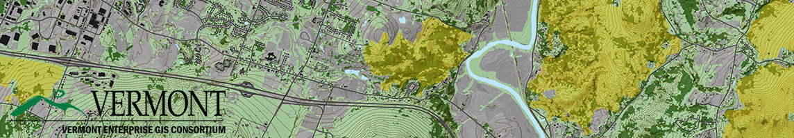
2023 VT GIS Service and Strategic Plan Update Survey
Responses will help guide the next edition of the EGC's Strategic Plan and GIS activities in the years ahead.
Your input is greatly appreciated!
For reference, here are some things that we've accomplished in the past five years:
- Availability of statewide, uniform grand-list joined municipal parcel data representing over 330,000 parcels with ongoing upkeep
- Availability of statewide, high-resolution QL2 lidar-derived products
- Availability of 1,000+ open datasets by multiple publishers at the VT Open Geodata Portal that served 50,000+ unique users this past year
- Availability of 15cm orthoimagery for multiple locations
- Availability of key public data and applications such as COVID-19 reporting that have been viewed millions of times
- Ongoing support of key applications such as the ANR Atlas and e911 viewer
- Availability of weekly-updated key datasets such as address points and road centerlines
- Availability of statewide high-resolution land cover products, including impervious surfaces
- Availability of digital copies of land surveys statewide
- Availability of municipal zoning boundaries statewide, and much more.