Geodata Portal
Share Map Data
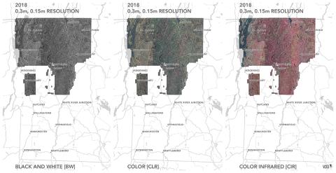
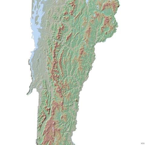
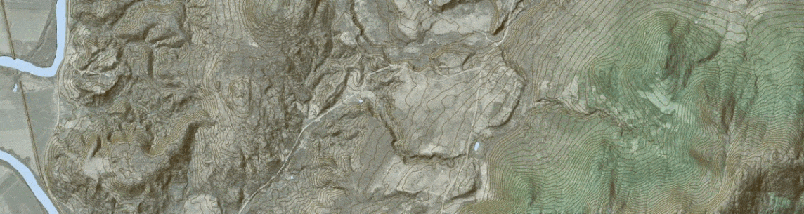
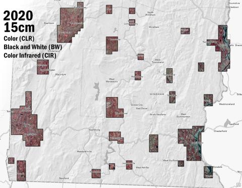
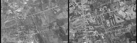
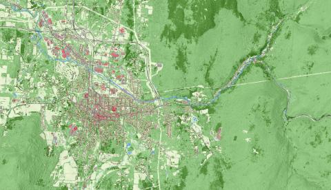
GIS data in the State of Vermont is overseen by groups with different jurisdictions and data responsibilities. VCGI, as part of the Enterprise GIS Consortium, coordinates the stewardship of the state's spatial data infrastructure. This infrastructure includes foundational public datasets that underlie many other uses such as orthoimagery, lidar elevation data, roadways, waterways and more--all of which are the purview of different agencies.