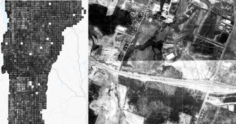
1974-1992 Georeferenced VT Orthophotos Now Available for Streaming and Download Data Release Thu, 04/17/2025 - 12:00 Scanned and georeferenced orthophotos taken over the course of 18 years are now avaliable for most of Vermont Read more about 1974-1992 Georeferenced VT Orthophotos Now Available for Streaming and Download
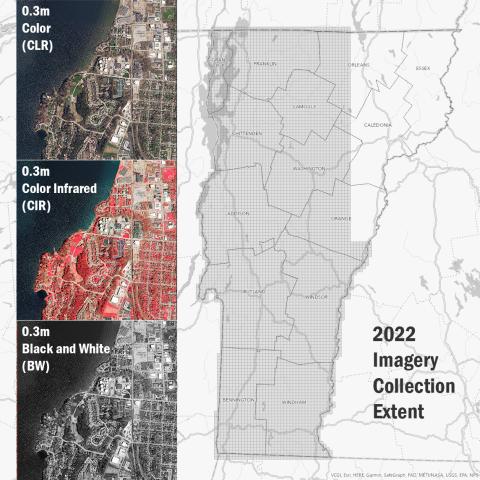
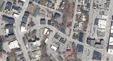
2023 Orthoimagery Now Available Data Release Tue, 04/09/2024 - 12:00 0.15m (15cm) coverage for major transporation corridors and urban areas Read more about 2023 Orthoimagery Now Available
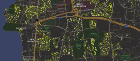
Vermont Property Transfers Now Available as Spatial Data Data Release Fri, 01/26/2024 - 12:00 Approximate point locations and associated information collected by the Department of Taxes for all property transfers in Vermont beginning in January 2019 through present are now on a map. Read more about Vermont Property Transfers Now Available as Spatial Data
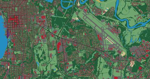
High Resolution Base Land Cover and Impervious Surfaces Layers Now Updated, Old Services Deprecated Data Release Thu, 06/15/2023 - 12:00 These 2016 high resolution land cover products have been updated. Read more about High Resolution Base Land Cover and Impervious Surfaces Layers Now Updated, Old Services Deprecated
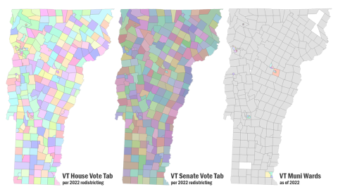
VT House and Senate Vote Tabulation Areas, Municipal Voting Districts Available Data Release Fri, 03/03/2023 - 12:00 VT House and Senate Vote Tabulation Areas per 2022 redistricing, Municipal Voting Districts now available Read more about VT House and Senate Vote Tabulation Areas, Municipal Voting Districts Available
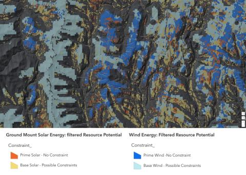
Act 174 Statewide Energy Planning Data Updated: Known and Possible Constraints, Renewable Energy Potential Data Release Fri, 03/10/2023 - 12:00 Known and possible constraint layers updated statewide, solar and wind energy potential resources available Read more about Act 174 Statewide Energy Planning Data Updated: Known and Possible Constraints, Renewable Energy Potential
2022 Orthoimagery Now Available Data Release Tue, 02/07/2023 - 12:00 Largest leaf-off collection captured in a single season yet. Read more about 2022 Orthoimagery Now Available
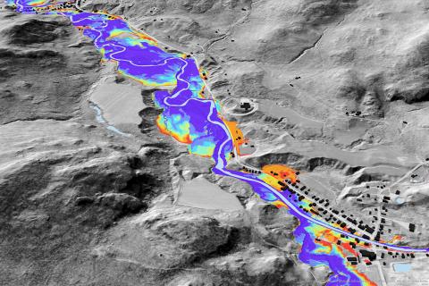
Lake Champlain Basin Lidar-Informed Flood Inundation Layer Now Available Data Release Mon, 05/23/2022 - 12:00 QL2 lidar-derived raster data product that depicts flooding extents for the Lake Champlain Basin in Vermont. Read more about Lake Champlain Basin Lidar-Informed Flood Inundation Layer Now Available
2022 Vermont Legislative Districts Now Available Data Release Mon, 04/11/2022 - 12:00 See the updated bounds of Vermont's House of Representatives and Senate districts. Read more about 2022 Vermont Legislative Districts Now Available
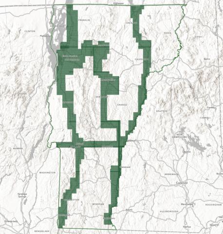
2021 Orthoimagery Now Available Data Release Fri, 03/11/2022 - 12:00 2021 30cm Imagery Products Covering Essex, Orleans and Caledonia Counties Are Now Available Read more about 2021 Orthoimagery Now Available