Parcels
Legal Parcel Definition Examples Vermont and Elsewhere
This document collects and links to examples of parcel definitions in statute in Vermont and other states. It also offers commentary on those definitions relative to Vermont practice.
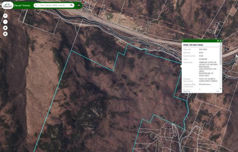
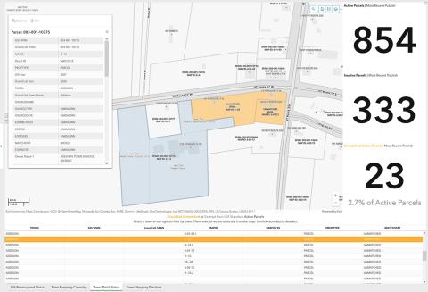
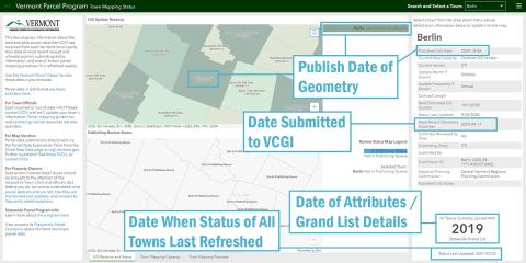
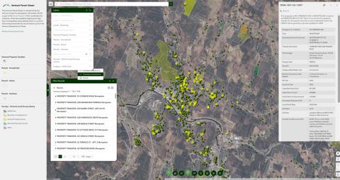
Vermont GIS Parcel Mapping Guideline
This guideline will identify aspects of the parcel mapping process, issues to consider, and provide template documents that will assist listers, assessors, and other town officials with their duties as they relate to the development of parcel maps and data. An overview of the process is provided before the template documents. Please refer to the current VT GIS Parcel Data Standard at the VCGI web site (vcgi.vermont.gov) for technical specifications relevant to the creation or update of the parcel data used to create maps.
Geodatabase Template for the Parcel Data Standard
This .zip archive contains an empty geodatabase file template for working with the VT GIS parcel data standard.