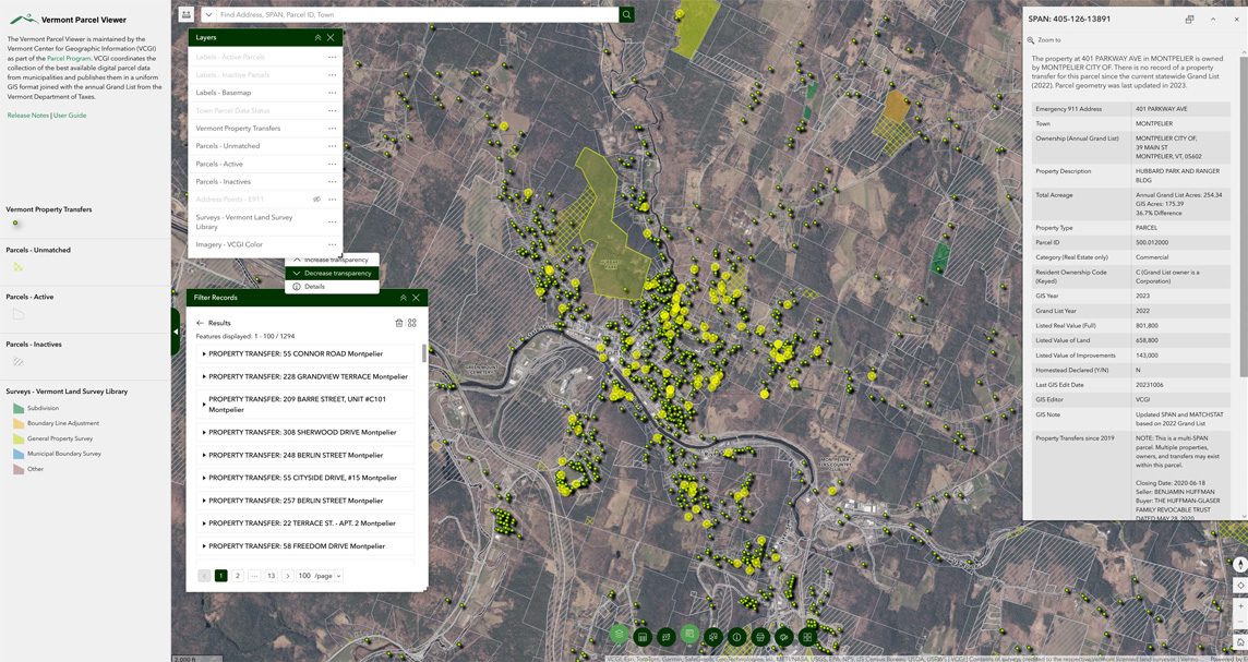
VCGI is pleased to announce the release of the Vermont Parcel Viewer version 4.0. Since 2019, and reflecting the work of the parcel program, the viewer has been one of the State's most-used map applications, enabling easy access to one of its most popular datasets. This update offers enhanced capabilities with quick access to information found in the previous parcel viewer as well as additions from the Town Mapping Status application, the Vermont Land Survey Library, and the Vermont Property Transfer spatial dataset. The viewer continues to display the best available town parcel data as provided by municipalities.
New Features and Uses
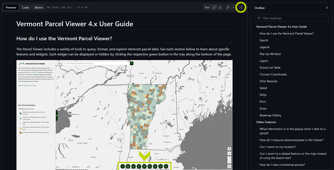
See the release notes for a list of all new and updated features of the new application. The user guide offers details about the new app interface and shows examples of common uses. You may also search or link directly to a header of the user guide via the toggle-able outline at top right:
Questions? See the Vermont parcel program page, parcel program FAQ's, access underlying parcel data, or contact VCGI at vcgi@vermont.gov.