Enterprise GIS Consortium
VT Building Footprints Geospatial Data Standard
This standard applies to Vermont’s master building footprints geospatial dataset as managed by the defined Data Steward.
Objectives
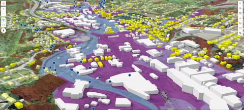
• Define a data standard that supports use of data which models building footprints in multiple contexts; contexts include emergency management, planning, and analysis. NOTE: This standard and the associated statewide building footprints dataset is NOT intended for uses such as property assessment and site engineering.
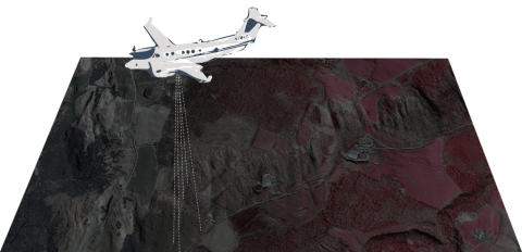
• Define a data standard that supports a workflow which merges best-available building-footprint data from multiple sources into a single dataset stewarded by VT Enhanced 911 Board; sources include local governments, RPCs (regional planning commissions), lidar, aerial imagery, and the public domain.
• Define a data standard that supports availability of high-quality building footprint data–in terms of shape integrity and attribute integrity.

