February 20, 2019

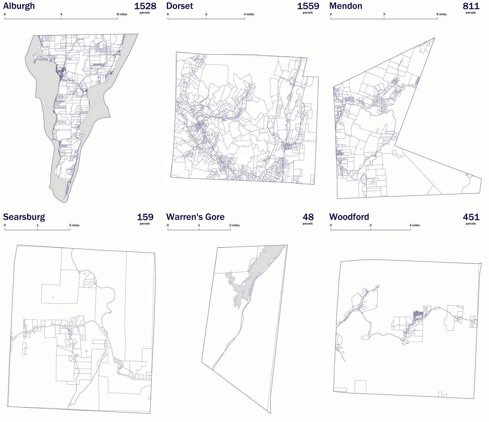
Standardized, grand-list joined digital parcel data in GIS format for every municipality in Vermont continues to advance. We publish those towns completed by the statewide property parcel mapping project as they are completed and reviewed. 176 municipalties are scheduled to be completed and published by the end of March 2019, with the remaining 79 towns due by the end of 2019, completing coverage of the entire state. A current status map is available here. Parcel data are updated weekly (as available) on a town by town basis in both our datasets and web services, which also feed map applications such as the Vermont Parcel Viewer and Vermont Interactive Map Viewer. A sample of those towns completed in 2017 are in the image shown above.
