Explore online maps covering a variety of topics, such as parcel data and lidar.
Learn More
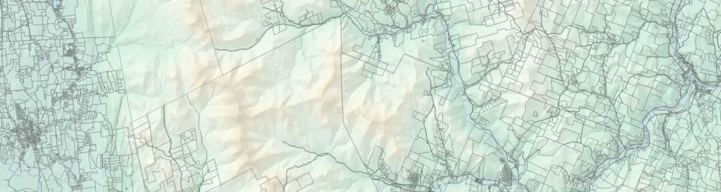
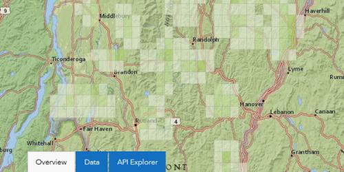
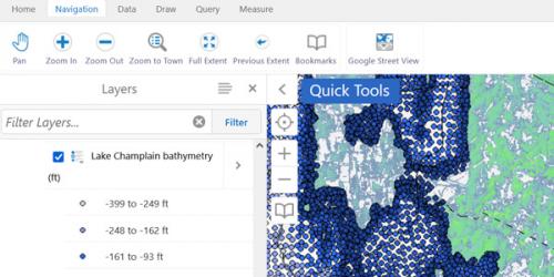
Use the Vermont Interactive Map Viewer to create maps in your browser.
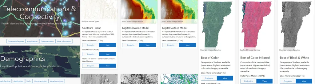
Find map data from State Agencies and Regional Planning Commissions.
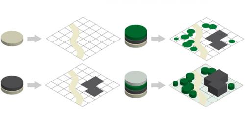
Learn about the effort to map parcels for all Vermont municipalities and make them joinable with the grand list.
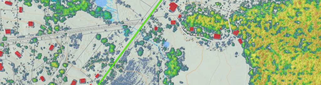
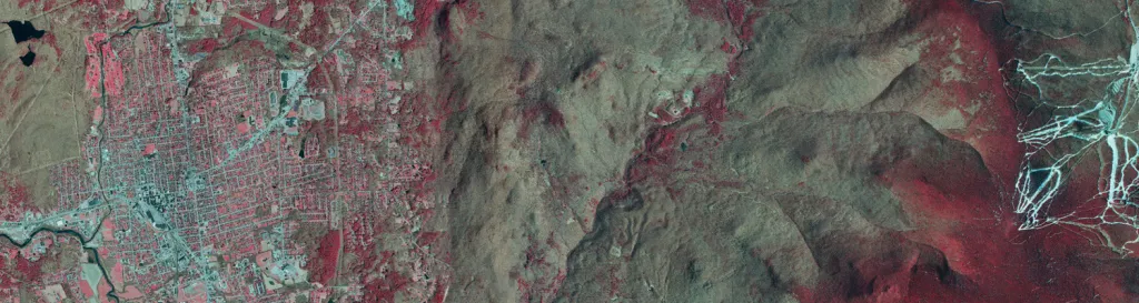
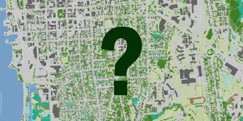
Vermont has been capturing images of the state from above for decades. You can access many of these collections online.
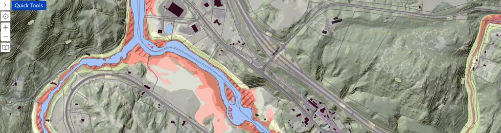
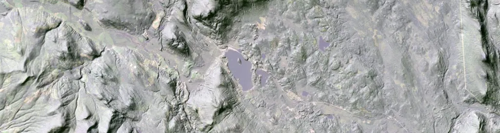
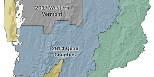
Vermont has completed the acquisition of high accuracy elevation data statewide using airborne lidar. Learn more here.