This page contains reference measurements for calculating Vermont physical areas in geographic analyses.
Census 2022 TIGER/Line Geometry
| Geography | Total Area | Land Area3 | Water Area3 | ||||||
|---|---|---|---|---|---|---|---|---|---|
| Sq. Mi.1 | Sq. Km. | Acres2 | Sq. Mi.1 | Sq. Km. | Acres2 | Sq.Mi.1 | Sq. Km. | Acres2 | |
| Vermont |
9,615 |
24,903 |
6,153,746 |
9,217 |
23,873 |
5,899,041 |
398 |
1,031 |
254,705 |
| 100% | 96% | 4% | |||||||
Table 1. Source: 2022 TIGER/Line Geodatabase File. U.S. Census Bureau.
Notes:
- The NIST standard for converting square meters into square miles was used (1 square mile = 2,589,988.110336 square meters).
- Acres were calculated by multiplying square miles by 640, per conversion factors in the NIST Handbook 44 (2023), Appendix C: General Tables of Units of Measurement.
- Area measurements are from the Census Bureau's master TIGER database. Land and water classifications reflect updates made to the TIGER database through August 2022. Values reflect the ALAND and AWATER fields. Water measurements include only perennial water. All other water (intermittent, glacier, marsh/swamp) is included in the table as part of land area calculations.
The following references are static snapshots of dynamic underlying data sources. Please use carefully and refer to best available data sources at the time of use as needed.
Vermont GIS Boundary Data (BNDHASH), Water Area Data (NHDPlus HR), 2023
| Geography4 | Total Area | Land Area3 | Water Area3 | ||||||
|---|---|---|---|---|---|---|---|---|---|
| Sq. Mi.1 | Sq. Km. | Acres2 | Sq. Mi.1 | Sq. Km. | Acres2 | Sq.Mi.1 | Sq. Km. | Acres2 | |
| Vermont |
9,614 |
24,899 |
6,152,801 |
9,202 |
23,832 |
5,889,121 |
412 |
1,067 |
263,680 |
| 100% | 96% | 4% | |||||||
Table 2. Sources: VT Data - State Boundary layer of BNDHASH, a composite of best available boundaries, accessed May 16, 2023. USGS NHDPlus High Resolution area features, March 9, 2023 extract.
Notes:
- The NIST standard for converting square meters into square miles was used (1 square mile = 2,589,988.110336 square meters).
- Acres were calculated by multiplying square miles by 640, per conversion factors in the NIST Handbook 44 (2023), Appendix C: General Tables of Units of Measurement.
- Area measurements are from Vermont's best available composite of state boundaries (BNDHASH) and UGSS's best available composite of water areas (NHDPlus HR). Land and water classifications reflect updates to BNDHASH and NHDPlus HR through May 2023. Water measurements include only perennial water, clipped to the Vermont state boundary. All other water (intermittent, marsh/swamp) is included in the table as part of land area calculations.
- All spatial data were transformed to the Vermont State Plane Coordinate System in meters (ID: 32145) for measurements.
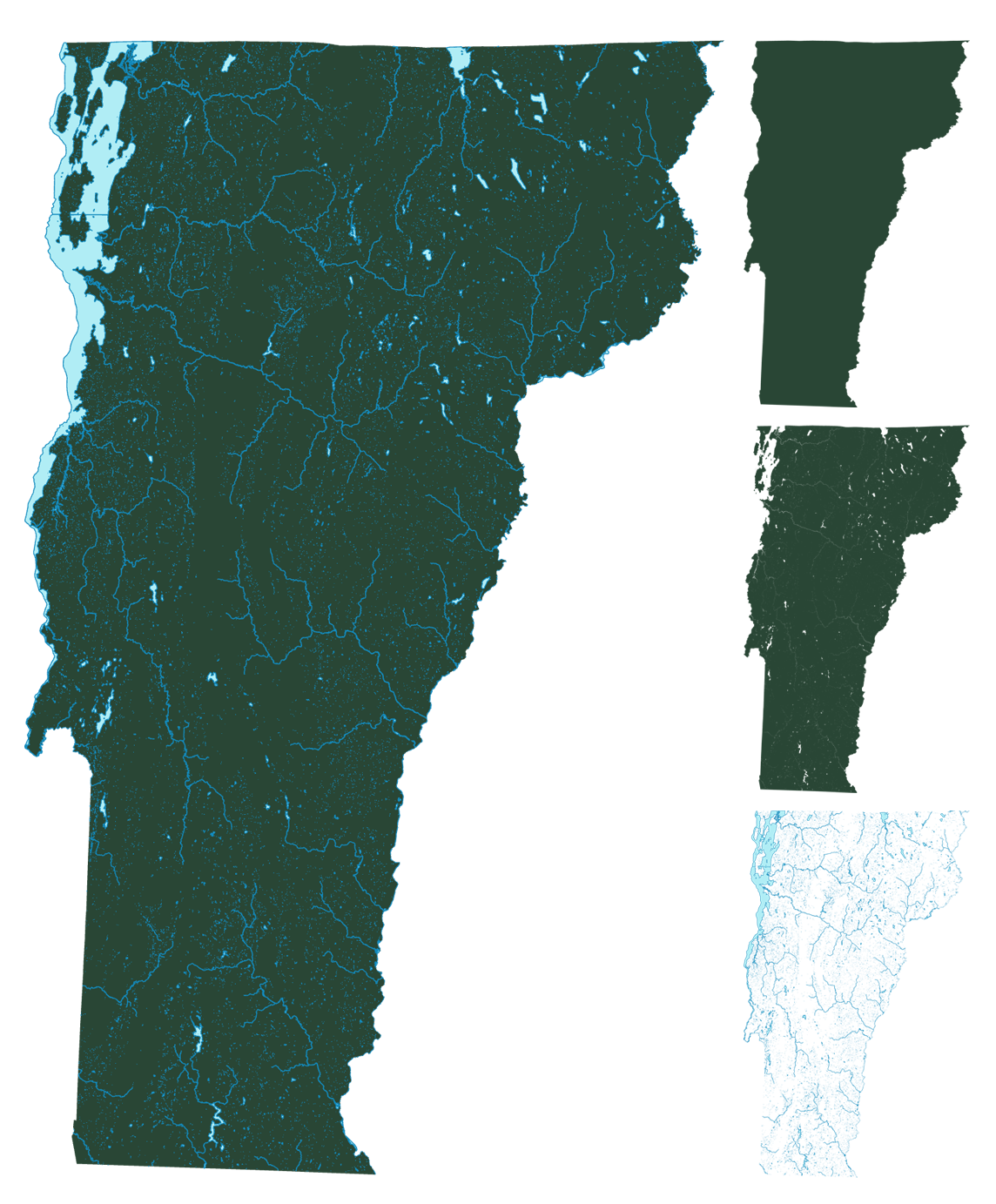
Vermont land and water areas as calculated using BNDHASH and NHDPlus HR input layers as shown in Table 2.