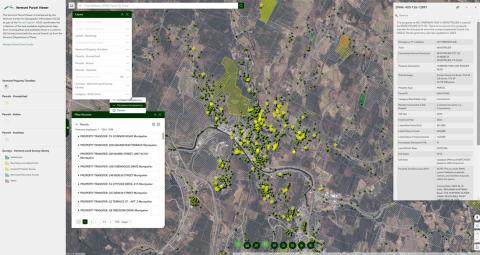
New Vermont Parcel Viewer Now Available Application Release Wed, 04/24/2024 - 12:00 An updated parcel viewer with property transfers, land suveys, and more is now available for use. Read more about New Vermont Parcel Viewer Now Available
Cloud Optimized GeoTIFFs (COGs) Now Available News Thu, 04/18/2024 - 12:00 High performance cloud optimized raster data format now available for select items. Read more about Cloud Optimized GeoTIFFs (COGs) Now Available
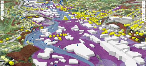
2023 Orthoimagery Now Available Data Release Tue, 04/09/2024 - 12:00 0.15m (15cm) coverage for major transporation corridors and urban areas Read more about 2023 Orthoimagery Now Available
Vermont GIS Strategic Plan 2023-2027 Fri, 09/01/2023 - 12:00 Read more about Vermont GIS Strategic Plan 2023-2027
2023: The Year in Vermont's GIS News Wed, 01/24/2024 - 12:00 A look back at what had been an extraordinary year. Read more about 2023: The Year in Vermont's GIS
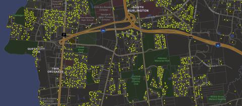
Vermont Property Transfers Now Available as Spatial Data Data Release Fri, 01/26/2024 - 12:00 Approximate point locations and associated information collected by the Department of Taxes for all property transfers in Vermont beginning in January 2019 through present are now on a map. Read more about Vermont Property Transfers Now Available as Spatial Data
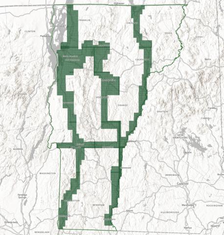
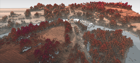
Coming in 2024: Statewide QL1 Lidar Data News Wed, 12/06/2023 - 12:00 Pilot Data Now Available Read more about Coming in 2024: Statewide QL1 Lidar Data
How To - Vermont Geocoding Service Sept 2023.pdf Read more about How To - Vermont Geocoding Service Sept 2023.pdf
20230324_Parcel Advisory Board Meeting_0.pdf Read more about 20230324_Parcel Advisory Board Meeting_0.pdf