What is GIS?
GIS or geographic information system refers to the computerized management of information that relates with its location on Earth. It is a way of digital mapping using related spatial information. These two components are key: a data source with location information and its display on a map. Multiple spatial datasets and their map layers can be combined into a system of geographic information, hence GIS.
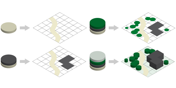
GIS is a powerful tool for understaing spatial patterns and relationships. When digital information is geographically referenced and linked to specific locations on the earth by reference systems such as latitude/longitude, this information can be used to create maps to reflect current conditions, serve as a basis for spatial analysis, or as an instrument for visualizing possible future alternatives. GIS is used by different groups for many different purposes, including planning, natural resource management, public administration, transportation, utilities, and emergency management to name a few.
More on GIS can be read here:
Where can I find an introductory overview of geospatial terms, concepts, data types, etc?
Check out this post titled "Introduction to Geospatial Data Types, Tools and Programs" on VCGI's Medium page.
It provides a brief overview of projections, datums, vector and raster information, GIS data and service types, and more.
Another useful introductory resource is the QGIS-maintained, "A Gentle Introduction to GIS".
How can I start using GIS?
A browser-based way to begin working with GIS is by using the Vermont Interactive Map Viewer or ANR's Natural Resources Atlas. These dynamic web mapping applications serve data collected, stewarded and published in the Vermont Open Geodata Portal. They enable you to navigate to an area of interest and turn map layers off and on, perform basic measurements and feature identification, save maps that you've made when logged in with a free ArcGIS public account, and more.
More advanced use involves GIS software, a list of which is provided here.
Free and open source desktop software is available. A popular and well supported platform is Quantum GIS or QGIS.
Where can I learn more about using GIS?
Check out VCGI's How-to and Education Resources page, which contains links to tutorials, GIS organizations, educational opportunities, and web resources for learning more about GIS.
Other resources around the web have robust user communities and are worth exploring:
How is GIS used in Vermont?
The brochure below provides a sample of how GIS is used across state agencies in Vermont. More examples are available here: 2021 VT GIS Year in Review, 2020 VT GIS Year in Review, 2019 VT GIS Year in Review.