May 31, 2019

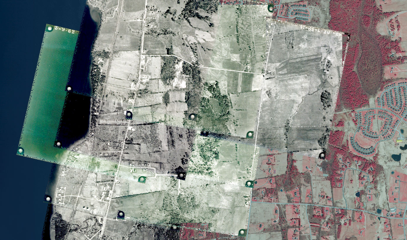
Into historical Vermont orthoimagery? Check out this post on our Medium page by Cale Kochenour, walking you through detailed steps to take on a georeferencing project in QGIS and reflections on lessons learned during the process.
You can view historical vermont orthoimagery as it comes in on the Open Geodata Portal from the "datasets" section of the imagery page.
