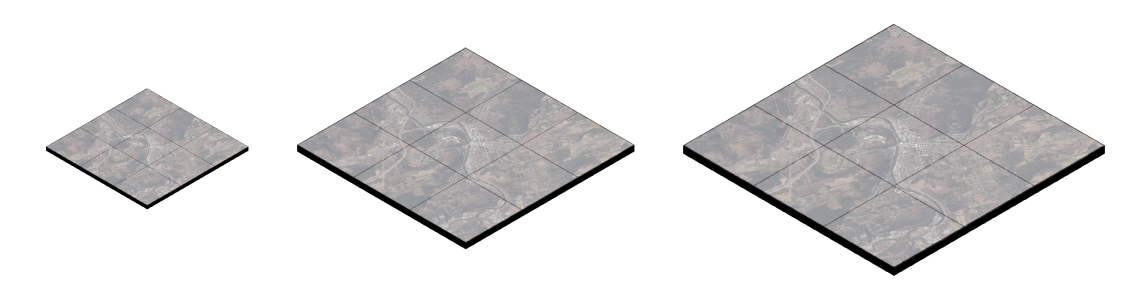
VCGI is pleased to announce the availability of Cloud Optimized GeoTIFFs (COGs) for select raster data products. A COG is a high-performance raster data type that has many advantages for modern GIS workflows. It can be thought of as a raster data download item with streaming web service-like functionality, all in one.
COG Storage, Access, and Use
VCGI's COGs are stored on an Amazon S3 (AWS S3) bucket in folders organized by Vermont Spatial Data Infrastructure (VSDI) theme. For example, COGs of lidar-derived elevation products are under the 'elevation' theme folder, orthoimagery products are under the 'imagery' theme folder. More COGs will become available as more data are collected and processed. They will also be linked as an available data type from their applicable locations at the Vermont Open Geodata Portal.
See the following page for more information about how to use COGs in your GIS software.
Enjoy!