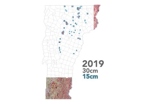
2019 Vermont Orthoimagery Now Available Data Release Thu, 02/13/2020 - 12:00 30cm resolution coverage for Southern and Northeast Vermont, 15cm resolution for select areas in the North Read more about 2019 Vermont Orthoimagery Now Available
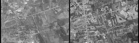
1962 Aerial Imagery Now Available Statewide (non-georeferenced) Data Release Mon, 11/04/2019 - 12:00 See what anywhere in Vermont looked like from above more than five decades ago Read more about 1962 Aerial Imagery Now Available Statewide (non-georeferenced)
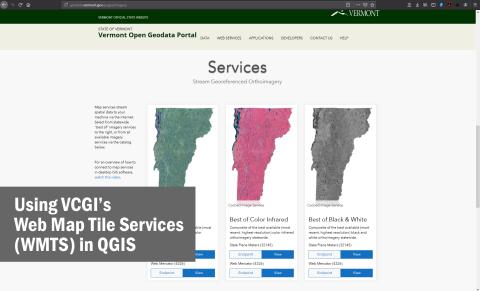
Using VCGI's Web Map Tile Services in QGIS How-To Tue, 06/04/2019 - 12:00 Learn to use our web map tile services (WMTS) in QGIS. Read more about Using VCGI's Web Map Tile Services in QGIS
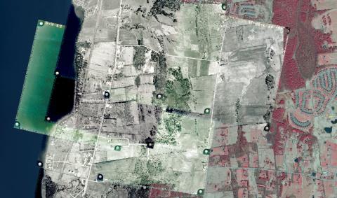
Tutorial: Georeferencing Historical Vermont Aerial Imagery How-To Fri, 05/31/2019 - 12:00 Learn to georeference historical VT imagery in QGIS and tips to consider along the way. Read more about Tutorial: Georeferencing Historical Vermont Aerial Imagery
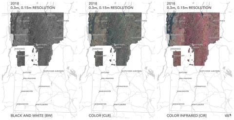
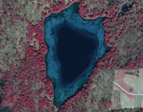
2018 VT Orthoimagery Now Available Data Release Thu, 01/31/2019 - 12:00 The 2018 collection of color, color infrared, and black and white orthoimagery is now available. Read more about 2018 VT Orthoimagery Now Available
Notice: Old CIR Services will be retired on 12/31/2018 News Wed, 01/02/2019 - 12:00 A reminder that VCGI will be retiring the deprecated "Best of" Color Infrared (CIR) Imagery services on 12/31/2018. Read more about Notice: Old CIR Services will be retired on 12/31/2018