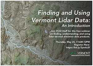
Interested in finding and using freely available Vermont lidar-derived elevation data products, perhaps for the first time? This webinar hosted by the Vermont Center for Geographic Information (VCGI) covers how to find and understand lidar-derived data, with emphasis on web browser-based tools to view them. We will cover data products made available by VCGI’s lidar program, and the VT Interactive Map Viewer as a means of access. Video recording is available here: https://youtu.be/XXiyHsa3D7Q
File
File Format