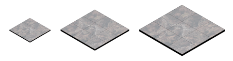
Cloud Optimized GeoTIFFs (COGs) Now Available News Thu, 04/18/2024 - 12:00 High performance cloud optimized raster data format now available for select items. Read more about Cloud Optimized GeoTIFFs (COGs) Now Available
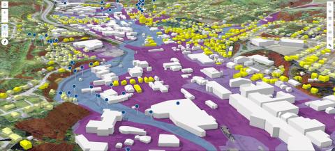
2023 Orthoimagery Now Available Data Release Tue, 04/09/2024 - 12:00 0.15m (15cm) coverage for major transporation corridors and urban areas Read more about 2023 Orthoimagery Now Available
Vermont GIS Strategic Plan 2023-2027 Fri, 09/01/2023 - 12:00 Read more about Vermont GIS Strategic Plan 2023-2027
2023: The Year in Vermont's GIS News Wed, 01/24/2024 - 12:00 A look back at what had been an extraordinary year. Read more about 2023: The Year in Vermont's GIS
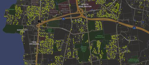
Vermont Property Transfers Now Available as Spatial Data Data Release Fri, 01/26/2024 - 12:00 Approximate point locations and associated information collected by the Department of Taxes for all property transfers in Vermont beginning in January 2019 through present are now on a map. Read more about Vermont Property Transfers Now Available as Spatial Data
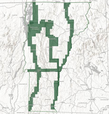
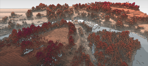
Coming in 2024: Statewide QL1 Lidar Data News Wed, 12/06/2023 - 12:00 Pilot Data Now Available Read more about Coming in 2024: Statewide QL1 Lidar Data
How To - Vermont Geocoding Service Sept 2023.pdf Read more about How To - Vermont Geocoding Service Sept 2023.pdf
20230324_Parcel Advisory Board Meeting_0.pdf Read more about 20230324_Parcel Advisory Board Meeting_0.pdf
20230324_Parcel Advisory Board Meeting.pdf Read more about 20230324_Parcel Advisory Board Meeting.pdf