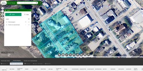
VCGI coordinates, curates, publishes, and provides Vermont-specific digital, spatial information that others use to make maps, whether those are online or in print. VCGI and partner agencies also provide several web mapping applications, some of which are linked below. These applications are generally one of three types: viewers, dynamic or themed.
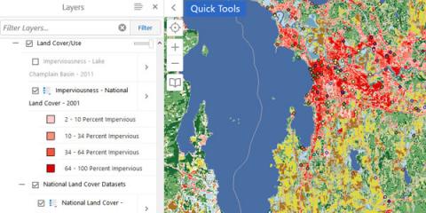
Viewer applications host different kinds of spatial information that you can turn off or on depending on what you are trying to map. While they serve the same underlying map data, agencies provide different viewers with pre-loaded layers to make related uses easier.
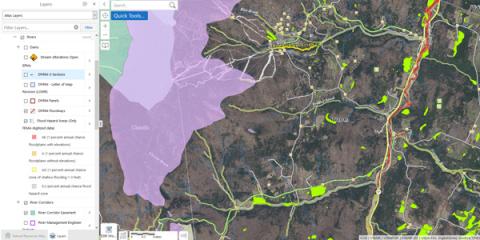
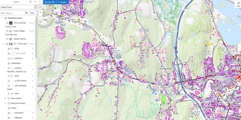
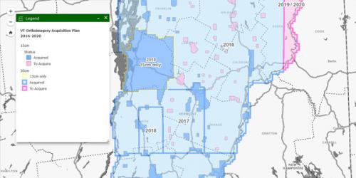
Dynamic mapping applications contain layers that are regularly updated while focusing on specific kinds of map information.
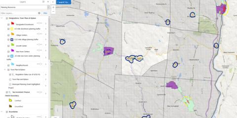
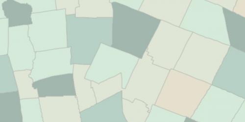
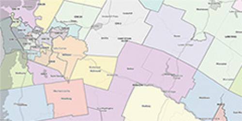
Themed mapping applications typically show one or a few kinds of content, usually at a snapshot in time. The data these applications show are static and are not guaranteed to be current or updated in the future.
Raw map data / layers that are able to be referenced and/or customized for many uses are published and freely available at the Vermont Open Geodata Portal.
Static Maps (PDF)
Vermont Municipalities Reference Map - 8.5"x11"
Vermont Municipalities Reference Map with Hillshade - 8.5"x11"
Vermont Municipalities and Counties Reference Map - 8.5"x11"
Vermont Municipalities and Counties Reference Map with Hillshade - 8.5"x11"